It’s an annual event in the Southwest. Warm, moist air muscles in from the eastern Pacific and Gulf of Mexico on the back half of summer and thunderstorms dump large volumes of rain on this mostly arid region. Little stream beds, arroyos and washes that are dry for most of the year can suddenly surge with water as heavy rain screams off the steep slopes.
This year has been particularly intense for New Mexico and Colorado, too, as I’m sure you’ve all seen on the news. This is apparently the wettest monsoon in at least 30 years for this media market. It comes after the rest of summer was particularly dry.
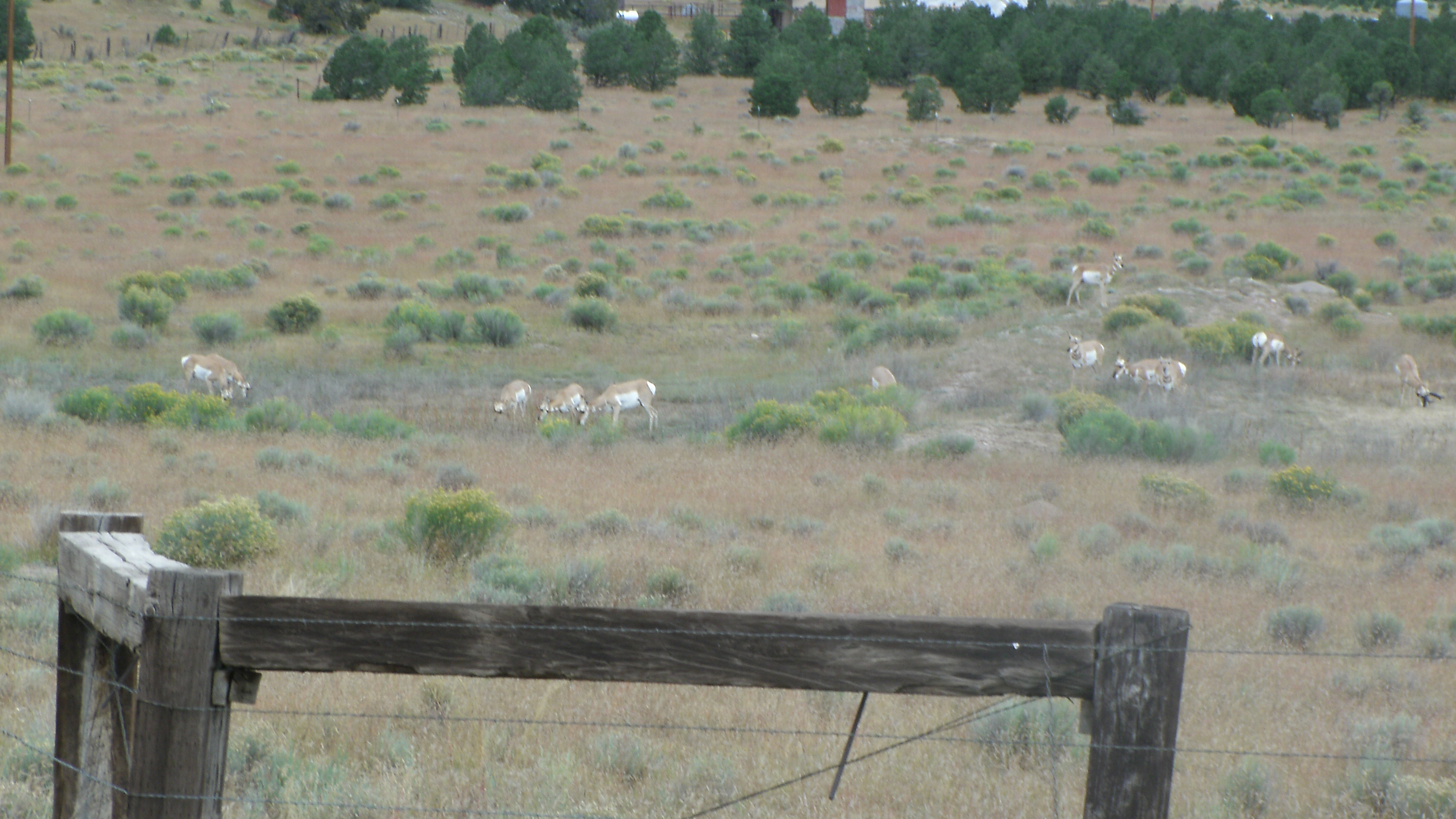
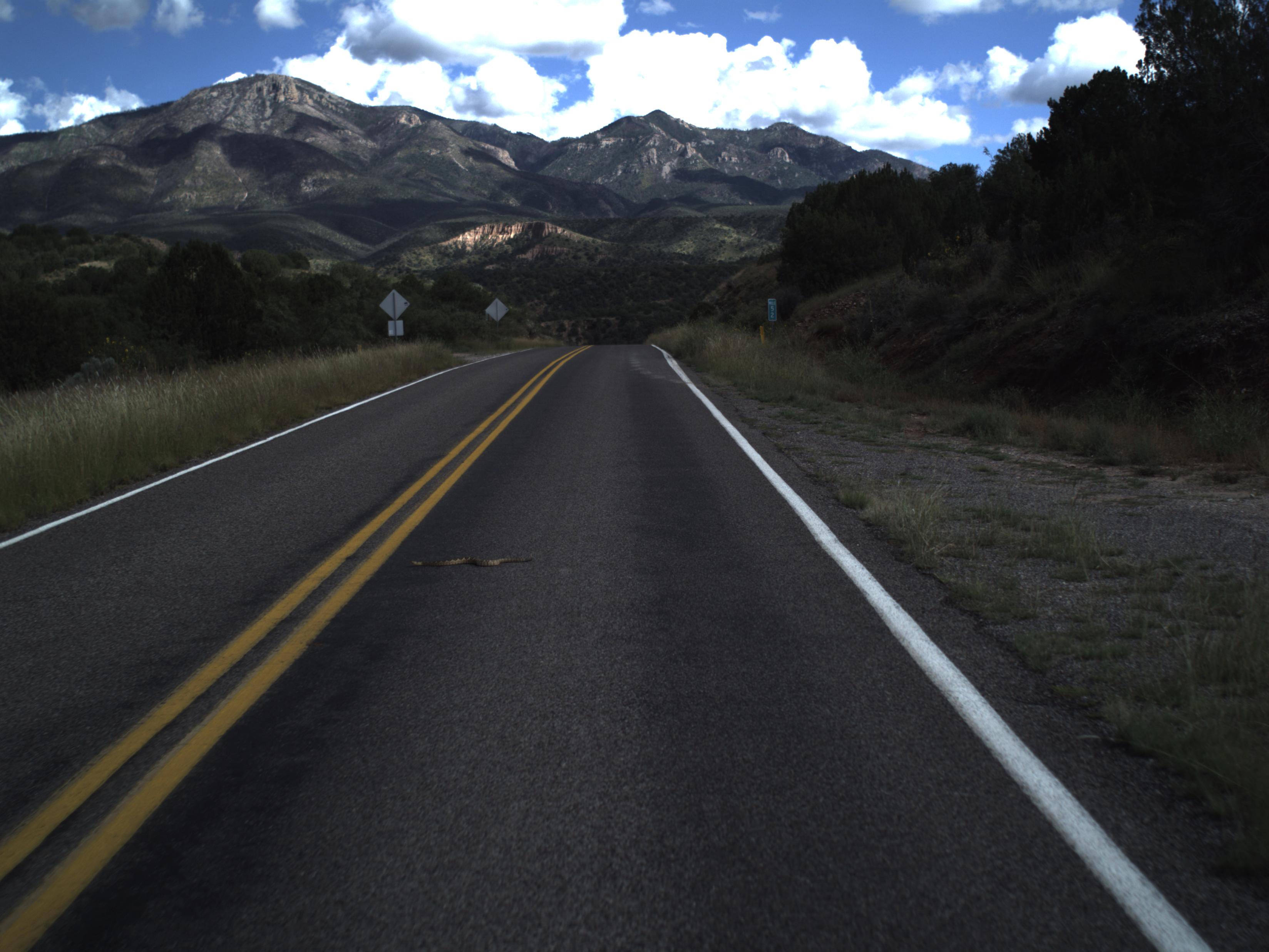
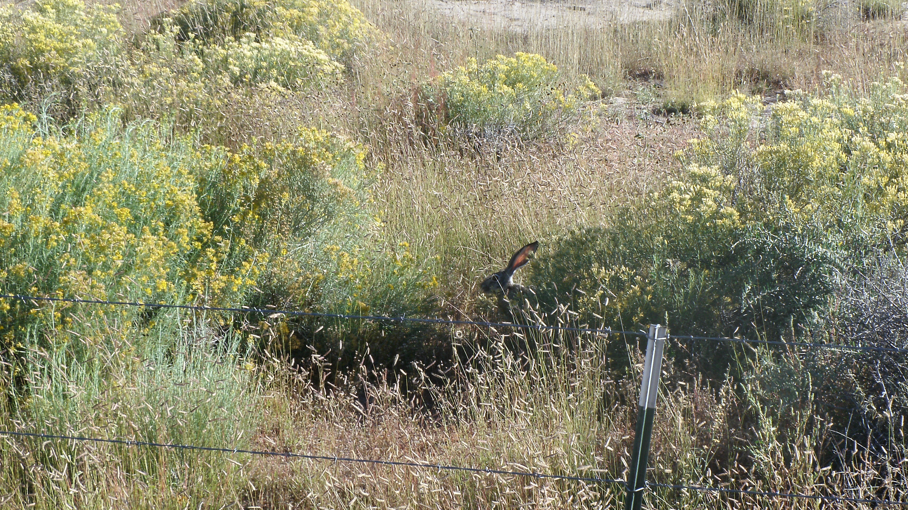
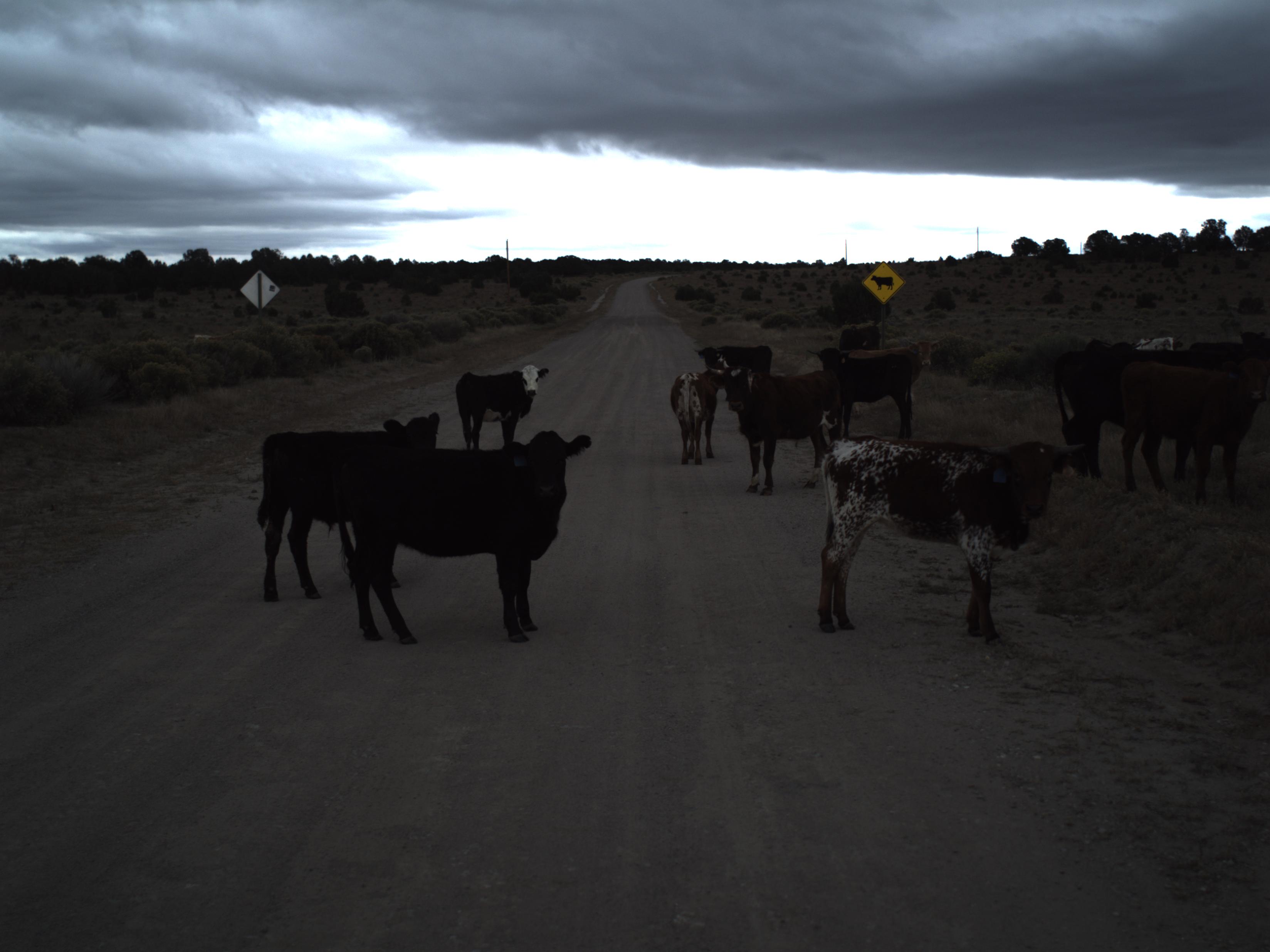
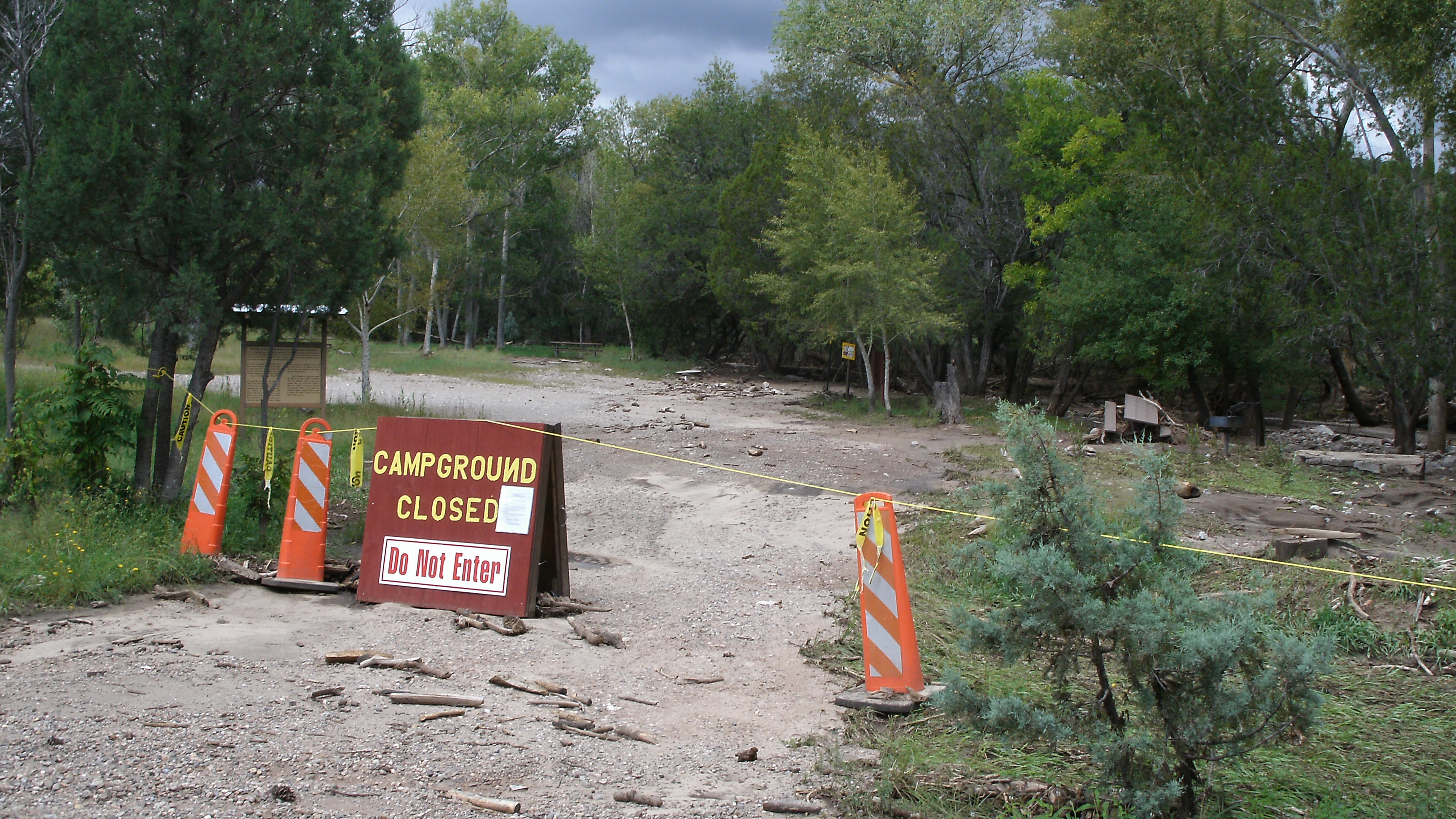
The rain has been hampering my job in this state. So far, we can pretty much bank on being boxed in by rain by 3 pm at the latest. Several roads we need to collect data on are currently closed or otherwise unavailable. On the plus side, it has made for some interesting scenery.

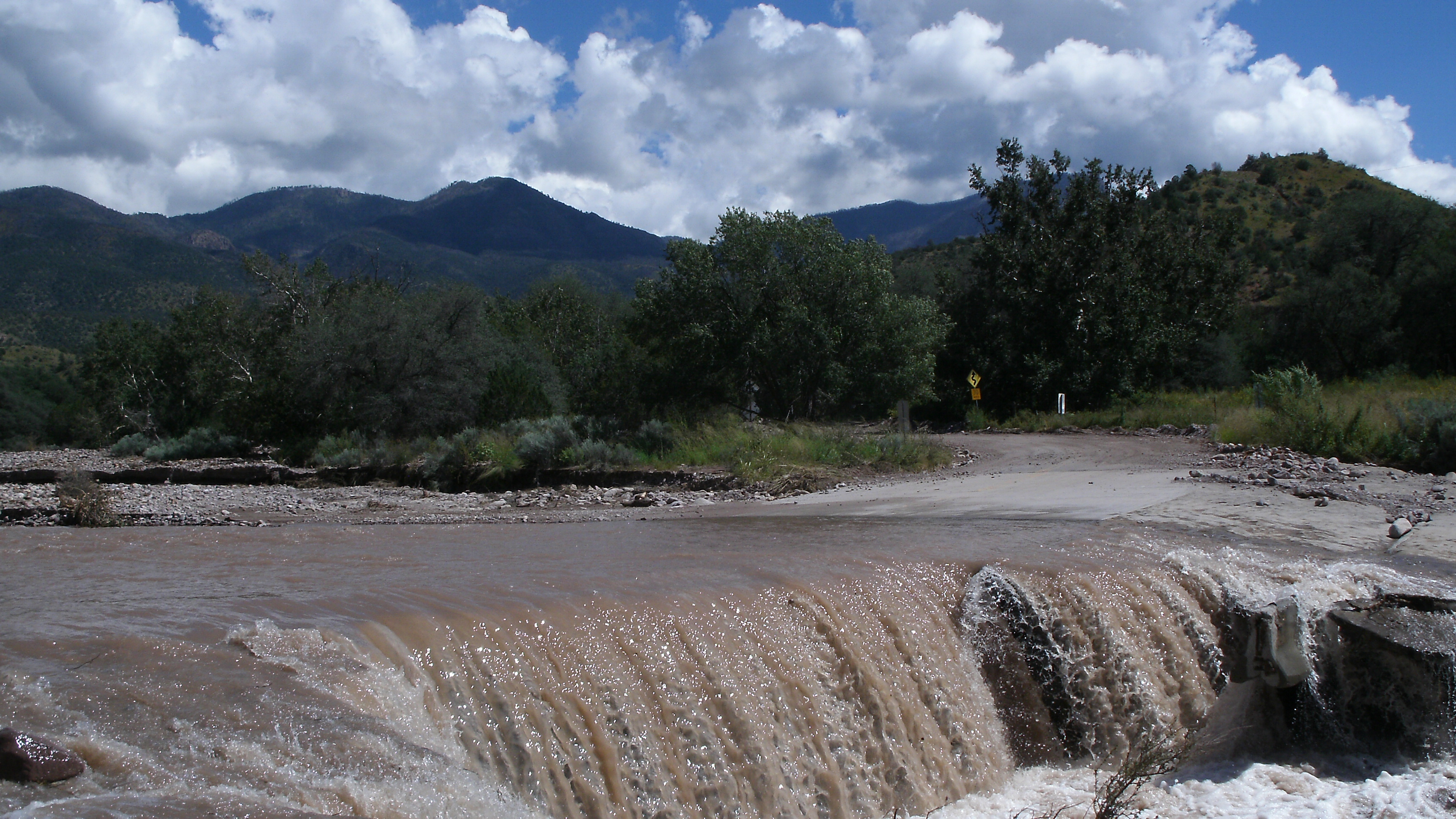
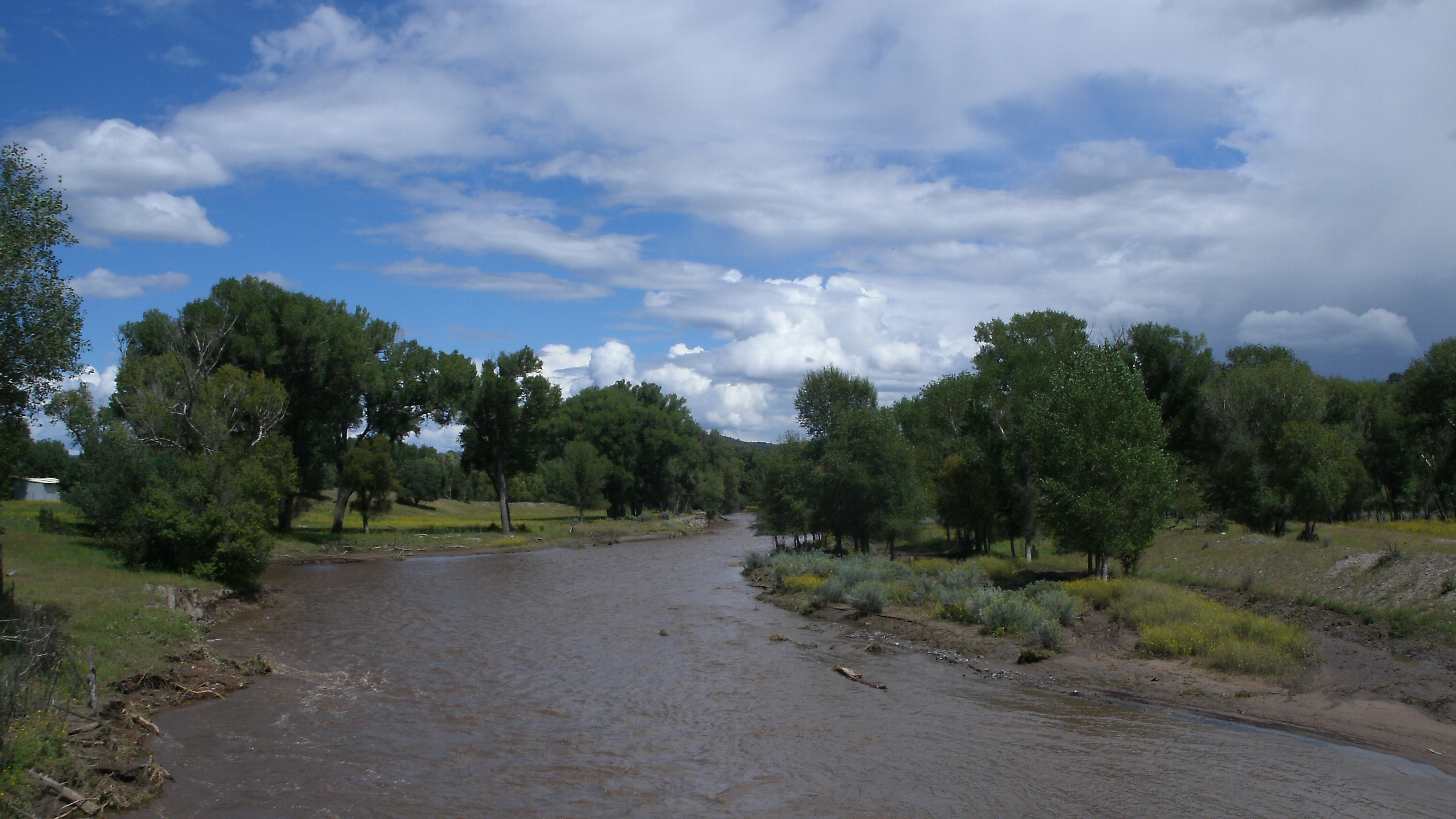
This is the San Francisco River just down stream from the small town of Reserve. It looks like a normal river except that just two weeks ago, it was bone dry. (Note the high turbidity.)
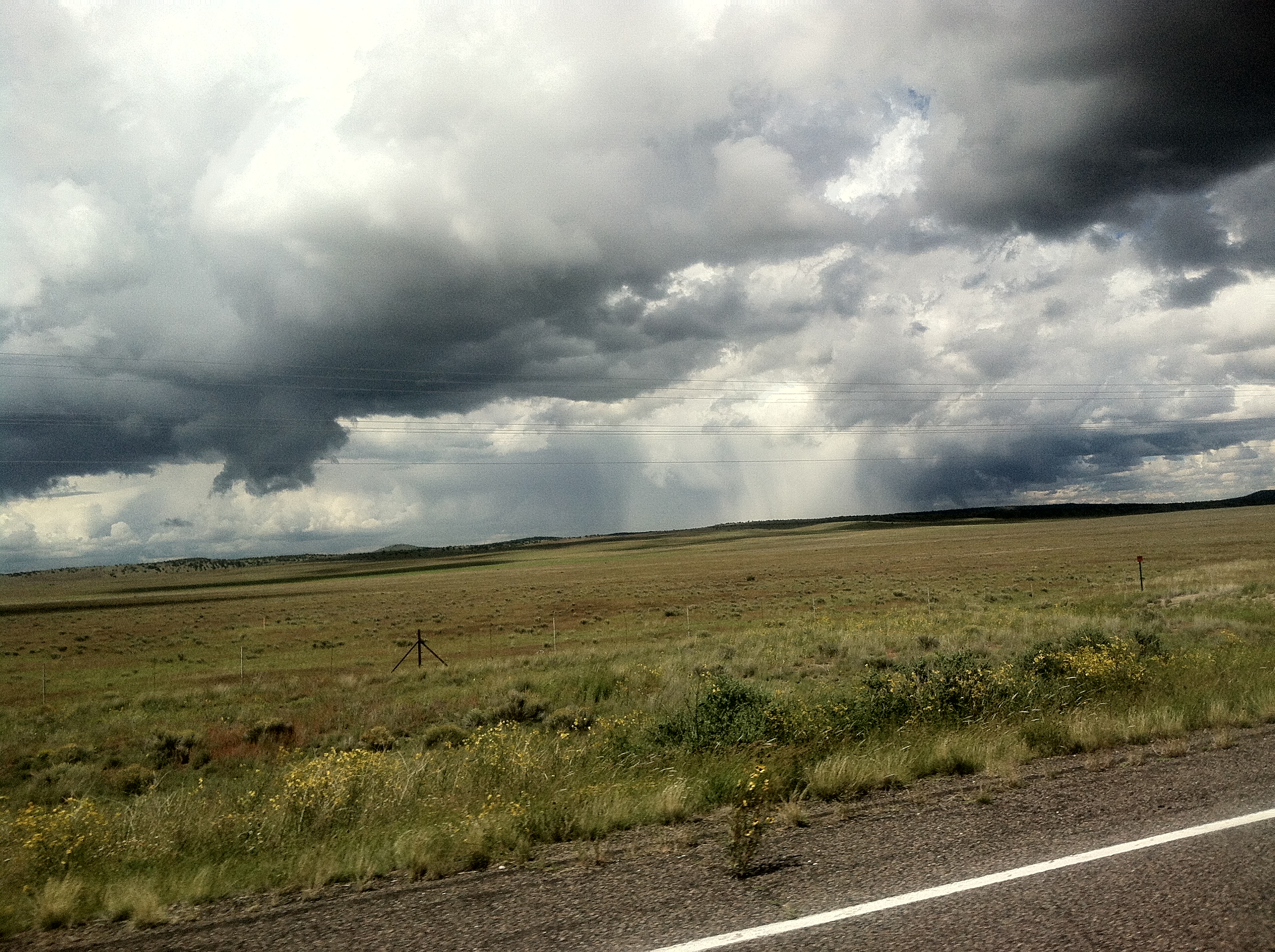
A monsoon thunderstorm is just like one you’d see anywhere in North America. What’s new to me is being able to see it coming for miles ahead. Distant curtains of water ready to inundate this normally arid landscape.

A place that only gets around 15 inches of rain a year suddenly gets half of it in just a couple days. It is an awesome demonstration of the power of water moving downhill. Material is carved from the hillsides and sorted by size as water redistributes it on the valley floor. This is how landscapes are created.
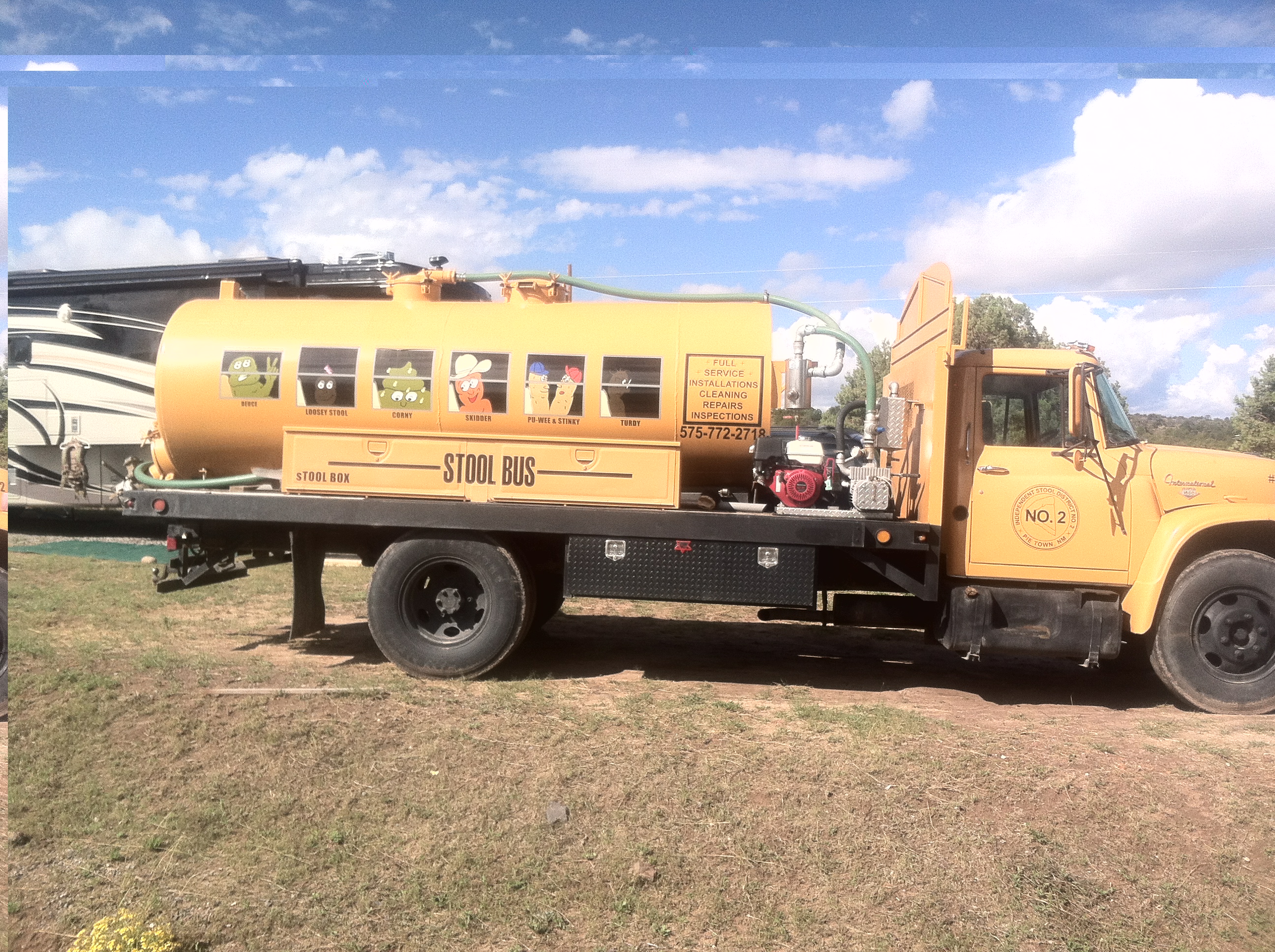
Lastly, a bit of humor from Pie Town. (Seriously, it’s a real place on US 60 in western New Mexico.)
http://mapper.acme.com/?ll=34.29474,-108.13302&z=14&t=T
Seems a local septic service has fully embraced its repurposed vehicle and created quite the brand identity in the process. Perhaps this is Mr. Hankey’s extended family?

(reporting from I-25 exit 150)